
In the past...
A three-hundred-year history
Built on the border between St-Rémy-de-la-Vanne and Champgoulin, the Moulin de Choisy was founded more than three centuries ago.
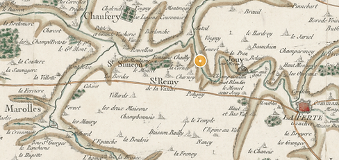
On Cassini's maps
Founded in the 18th century, the Choisy Mill has borne several names throughout its history: Petit Moulin, Moulin Leduc, and Moulin de Choisy. Its name can still be found on the famous Cassini maps, the first general and detailed maps of the Kingdom of France, produced between 1756 and 1815 by the Cassini family of cartographers.

The spillway
and its sluice gates
A double weir once supplied the mill with water. In this image, you can see the wooden sluice gates that diverted the water into the millrace. Some of them are still in place. As for the ducks and ducklings, they're still there!


The mill in 1900
On this vintage postcard, the historic mill appears on the right of the image. At the time, it straddled the millrace between the left bank and the island in the center. Below, the waterwheel powered the mill.
to do its job.
History lives on through the testimonies of the inhabitants of the surrounding villages. The previous generation still brought wheat to the mill in their youth!
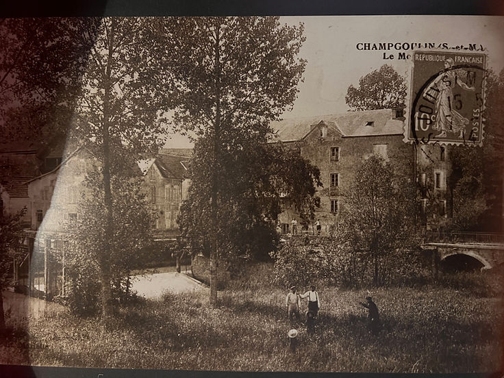
From one shore to the other...
To reach the main building of the mill, which no longer exists, the inhabitants had to use two wooden bridges. The sometimes stormy river finally destroyed these rudimentary structures in 1853. Two monumental stone bridges were then built. These have never been submerged by the water! Moreover, the current buildings are not located in a flood zone.
